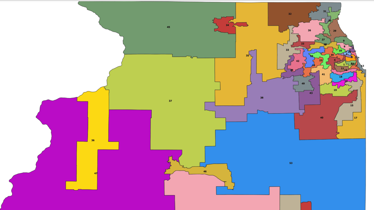
Late last week the US Census Bureau released their official numbers from the 2020 decennial census, which revealed Illinois Democrat’s partisan politician-drawn map to be in violation of federal law and provisions within the Illinois State Constitution. Illinois Republican Party Chairman Don Tracy released the following statement in response:
“Illinois Democrats forged ahead with a nakedly partisan and unethical process of politicians drawing their own districts behind closed doors in the face of repeated pleas from good government reformers and community groups to wait until the official census numbers were released. Democrats refused. Now the courts have no option but to strike down this wildly unconstitutional amatuer artwork presentation masquerading as a lawful legislative map. It’s time for the bi-partisan map-making process to take over.”
According to an analysis done by the House and Senate Republican caucuses, “[t]he Democrats’ proposed House districts have population counts ranging from 92,390 (District 83) to 124,836 (District 5)—a difference of 32,446. Based on a test directed by the U.S. Supreme Court, that difference represents a total population range of 29.88 percent, which is three times the maximum range allowed by federal law. Because the Democrats’ plan unequivocally violates federal law, it is and will be declared void.”
Republican Leaders have asked the federal court to declare H.B. 2777 (legislative map) void, meaning it was never of any force or effect. The Illinois Republican Party joined the Republican caucuses map lawsuit on July 27, 2021.
###


